
 |
| December 2021 |
 |
| June 2016 |
 |
| July 1968 |
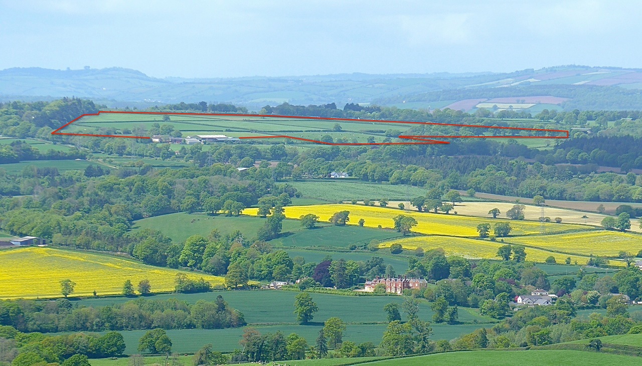 |
| Straitgate Farm from East Hill AONB |
 |
| Straitgate aquifer supplies drinking water for many |
 |
| One of many accidents on the B3174 Exeter Road – the same stretch of road where Aggregate Industries planned to introduce up to 216 HGV movements per day |
 |
| Each as-dug load of sand and gravel would have required haulage to Uffculme for processing – a 46-mile round trip |
 |
| 150 cows would have needed to cross the B3174 Exeter Road up to 4x daily for alternative pasture – in contrast to the small number shown above on the same stretch for this one-off event |
 |
| View of Ottery St Mary from Straitgate Farm – OSM Church and Chanter's House in foreground |
 |
| Cadhay Bog – Ancient Woodland and wetland habitat reliant on water from Straitgate |
 |
| Threat of birdstrike to aircraft flying low over Straitgate on landing descent to Exeter Airport |
 |
| Looking NE from Straitgate towards the Blackdown Hills |
 |
| View over Straitgate Farm towards the Sidmouth Gap |
 |
| Cadhay – Grade I listed – with mediaeval fish ponds fed by stream from Straitgate |
 |
| Leet feeding Cadhay's mediaeval fish ponds |
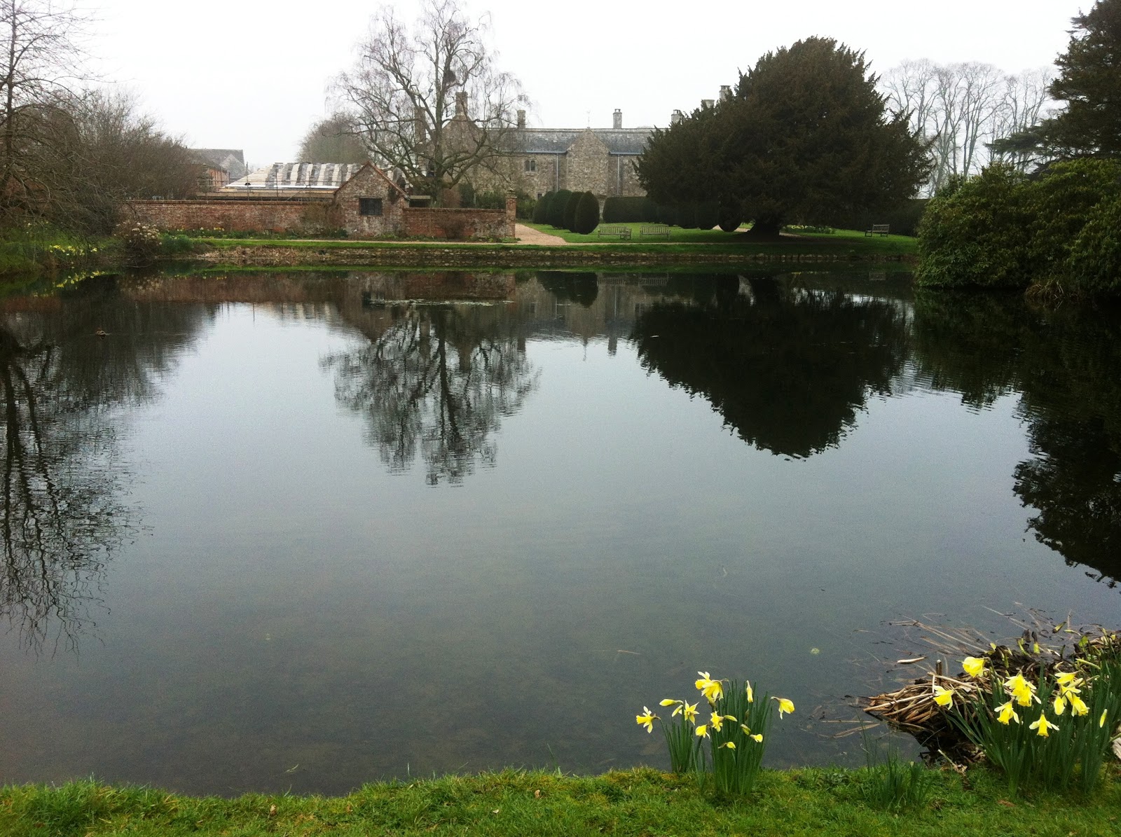 |
| Cadhay's mediaeval fish ponds in early spring |
 |
| Straitgate Farmhouse – Grade II listed – agricultural setting would have been lost |
 |
| A30 running alongside Straitgate |
 |
| Milking time for the Straitgate herd – productive dairy farm would have been lost |
 |
| Veteran oaks at Straitgate Farm |
 |
| 30-10-08 Flood water from Straitgate before running into Cadhay Bog |
 |
| 30-10-08 Flood water from Straitgate running through a Devon bank towards Cadhay Bog in background |
 |
| Same field the next day – 'canyon' over 5ft deep in places – interesting geology! |
 |
| Photograph from the Environment Agency taken on 30 October 2008 showing flooded areas |